
Discover Holmbridge
Holmbridge is a village located in the HD9 postcode area, governed by Kirklees Council. It is situated within the Metropolitan Borough of Kirklees, West Yorkshire. The village is known for its proximity to the Peak District National Park, offering visitors access to scenic landscapes and outdoor activities.
Explore the map below to discover accommodation, attractions, restaurants, and live events across Holmbridge. Scroll down to browse featured listings and plan your perfect visit.
Stay in Holmbridge

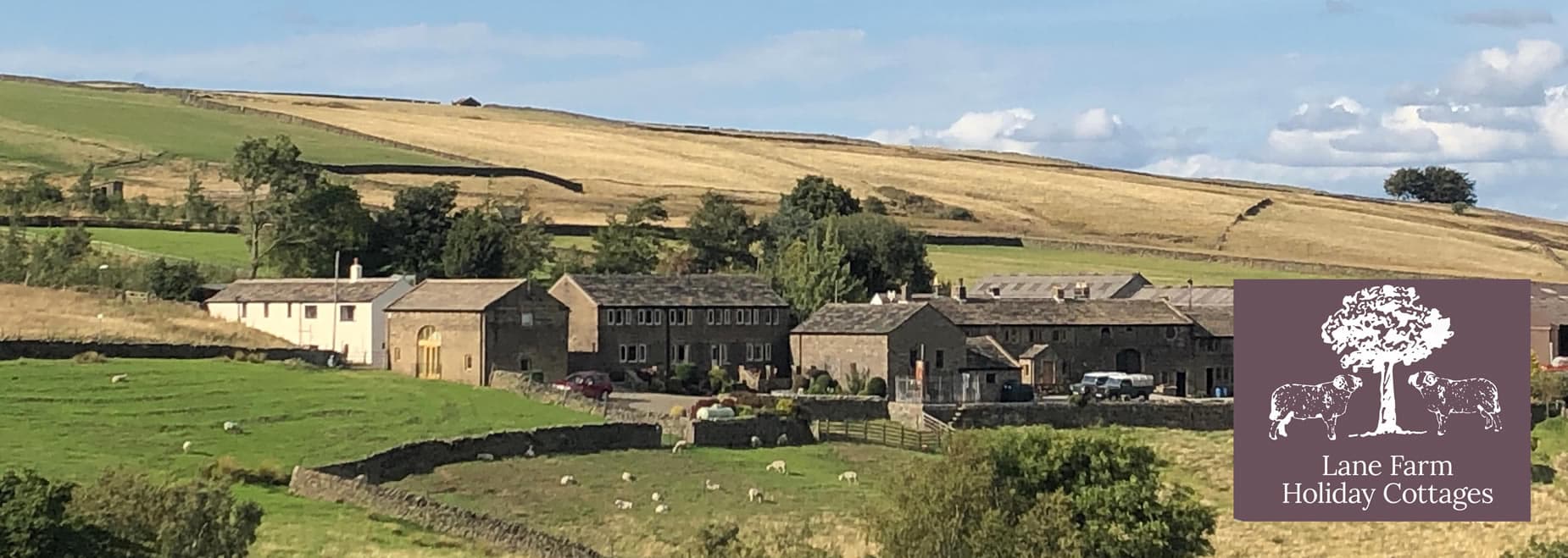
Lane Farm Holiday Cottages

The Pickled Pheasant


Corn Loft House
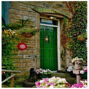
Corn Loft House B&B
Things to Do in Holmbridge
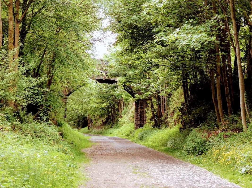
Trans pennine trail
Explore the Trans Pennine Trail, an easy, flat, and comfortable route perfect for walking, cycling, and family adventures.
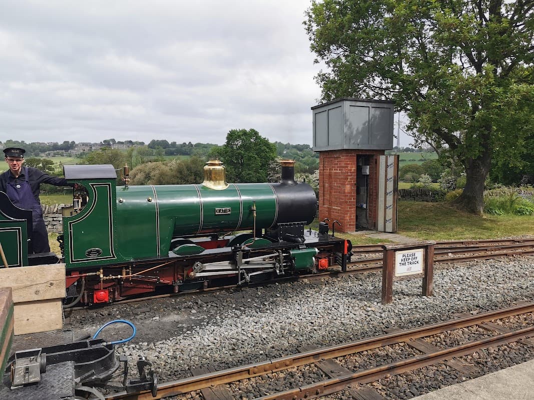
Kirklees Light Railway
Located in the scenic village of Clayton West, the Kirklees Light Railway offers a delightful experience for families and tourists alike. Enjoy a picturesque train journey through the countryside, complete with a cafe and shop for refreshments. While parking details are not explicitly mentioned, visitors should be prepared for standard pay-and-display parking options.
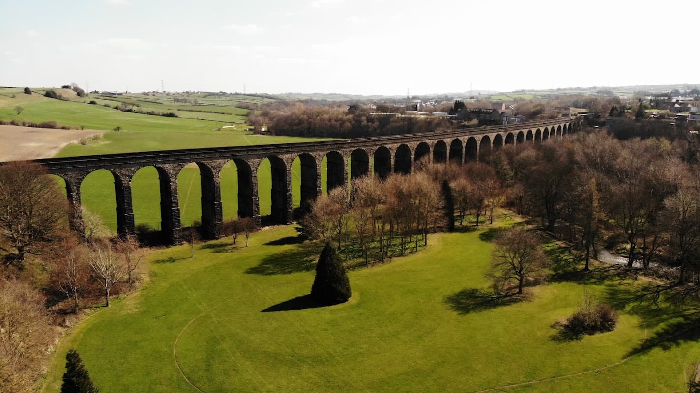
Watermeadows Park
Watermeadows Park in Penistone offers a tranquil escape with scenic viaduct views and rich biodiversity.
Browse by Type
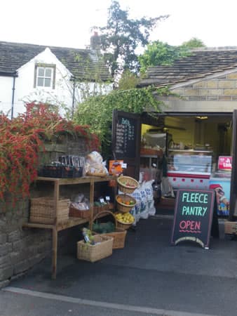
Food & Drink
Stumble Inn
Stumble Inn in Holmfirth offers a genuinely friendly Yorkshire welcome, delicious food, and lovely views.

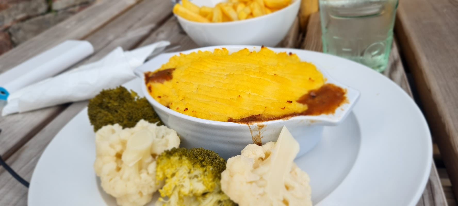
The Pickled Pheasant
Tucked away in Holmbridge, The Pickled Pheasant is a charming, quintessentially British pub offering warmth and delightful dining.

Interactive Map
View accommodation, attractions, restaurants, and events on the map
Geographic Facts
This village is geographically within the following regions:
- Postcode
- HD9
- Administrative area
- Holme Valley
- Dialing code
- 01484
Data sourced from Wikidata and verified public records


