Discover Manfield
Manfield is a village located in North Yorkshire, governed by North Yorkshire Council (formerly Richmondshire). It has a population of 297 and falls within the DL2 postcode area. Known for its rural setting, Manfield offers insights into traditional village life and is surrounded by scenic landscapes typical of the region.
Explore the map below to discover accommodation, attractions, restaurants, and live events across Manfield. Scroll down to browse featured listings and plan your perfect visit.
Stay in Manfield

Walworth Castle Hotel BW Signature Collection


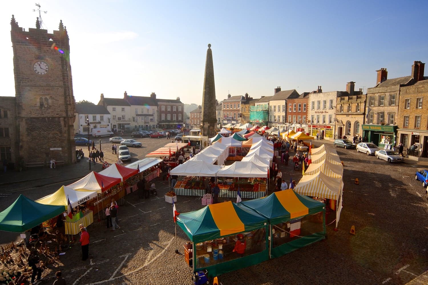
Comfy Dales holiday base on Market Place of historic market town
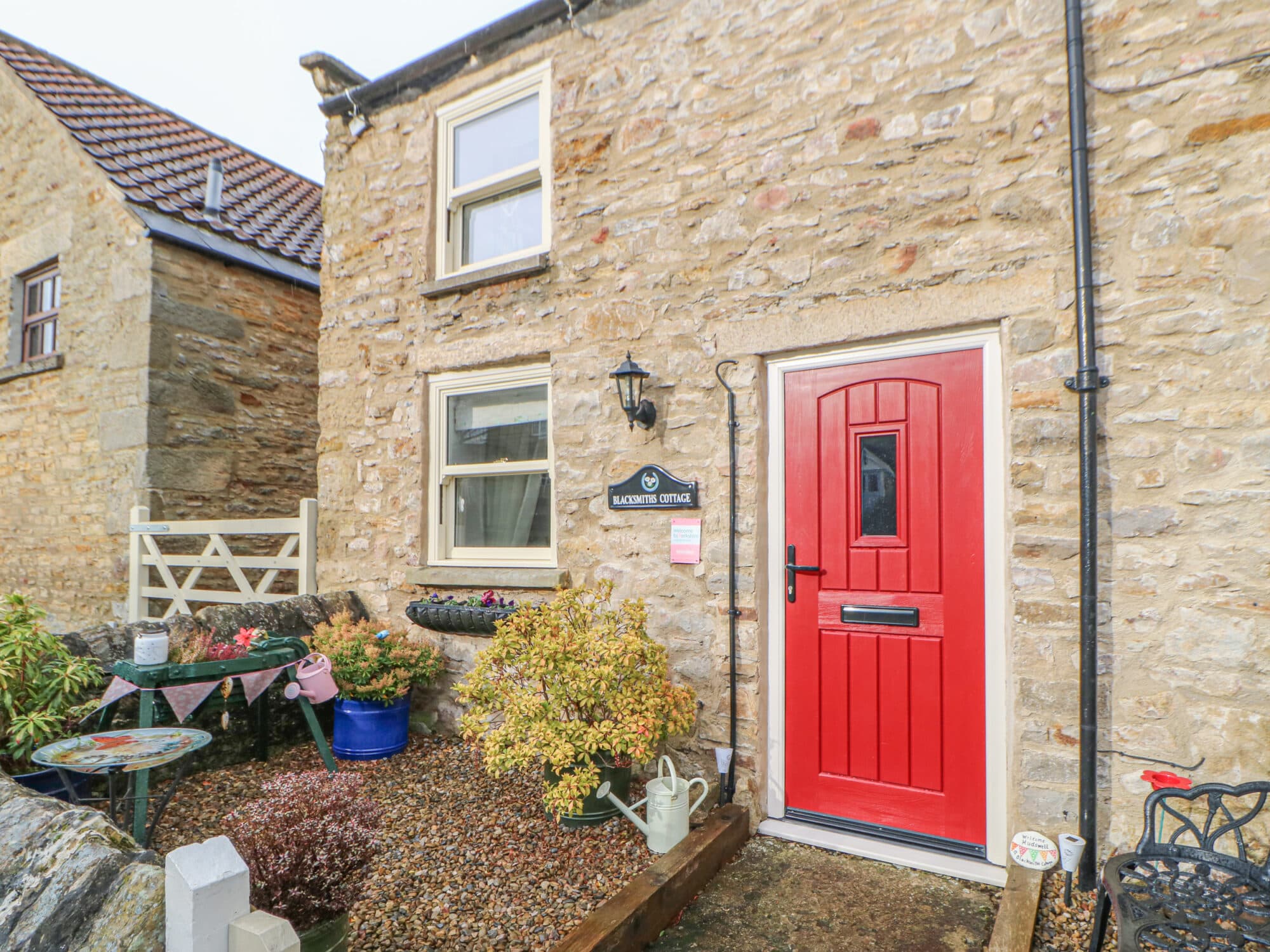
Blacksmith's Cottage

Dere House
Things to Do in Manfield

Hopetown Darlington

Catterick Stone Circle
Located in Hipswell, the Catterick Stone Circle offers a charming outdoor experience with its nine standing stones, surrounded by varied grass, shrubs, and trees. While the site is not an ancient stone circle, it provides a pleasant area for dog walking and enjoying nature. Visitors should be prepared for a pay-and-display parking arrangement nearby.
Richmond Information Centre
Food & Drink
Bon Coeur Fine Wines

Eppleby Village Shop
Eppleby Village Shop offers a charming stop for tourists exploring the Yorkshire countryside, featuring a delightful cafe and grocery store. Located in the picturesque village of Eppleby, visitors can enjoy a relaxing break with free parking available, making it a convenient spot for cyclists and travelers alike. The shop's proximity to the village green provides a scenic setting for a leisurely visit.

Interactive Map
View accommodation, attractions, restaurants, and events on the map
Geographic Facts
- Population
- 297
- Postcode
- DL2
- Administrative area
- North Yorkshire Council (formerly Richmondshire)
Data sourced from Wikidata and verified public records
Upcoming Events in Manfield

Browse by Type