Discover Skirpenbeck
Skirpenbeck is a village located in the East Riding of Yorkshire, governed by East Riding of Yorkshire Council. With a population of around 490, it falls within the YO41 postcode area. Known for its rural setting, Skirpenbeck offers a glimpse into traditional English village life and agricultural landscapes.
Explore the map below to discover accommodation, attractions, restaurants, and live events across Skirpenbeck. Scroll down to browse featured listings and plan your perfect visit.
Stay in Skirpenbeck
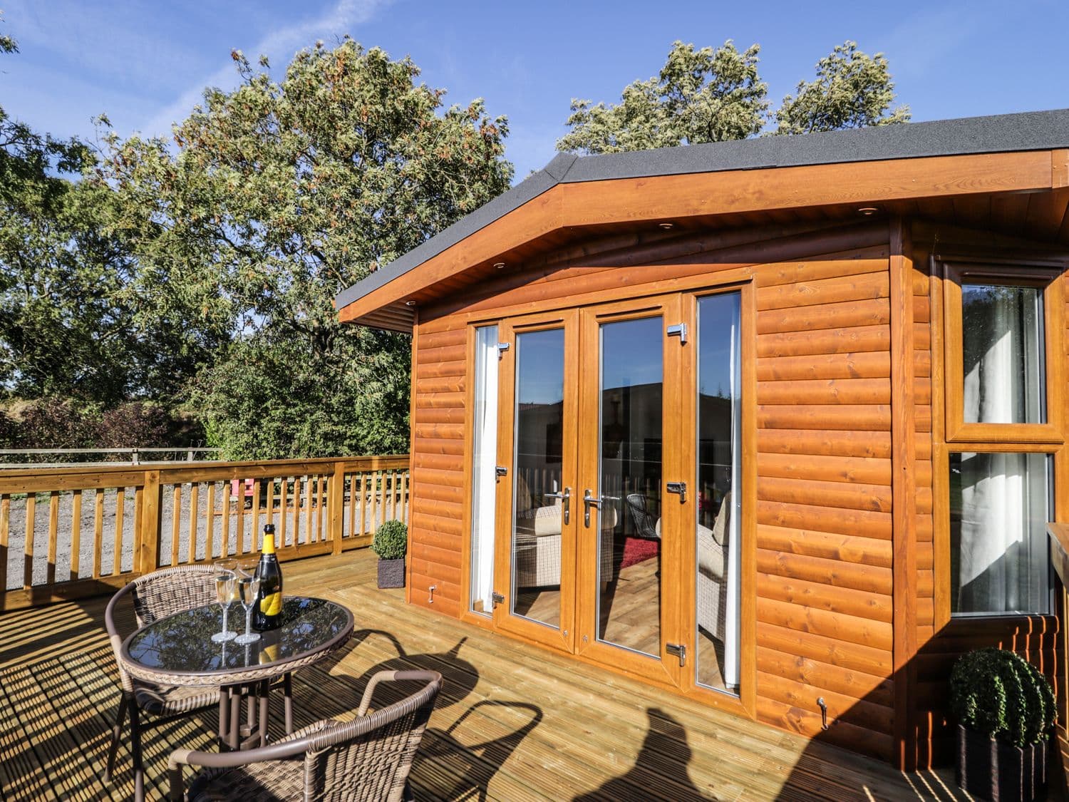
Beech Tree Lodge

Luxury Studio Cottage at Foot of Yorkshire Wolds

Beech Tree Lodge, York
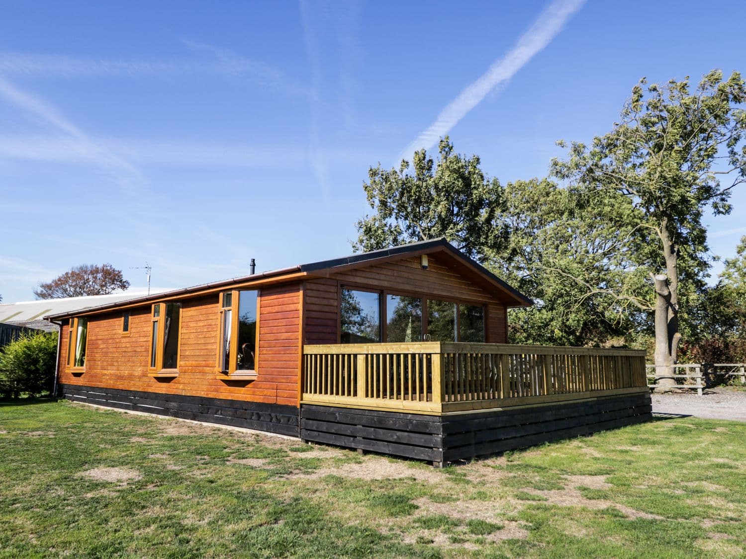
Ash Tree Lodge

4 Wellgarth

Things to Do in Skirpenbeck

The Bloody Tour of York

Rowntree Park
Escape to Rowntree Park, a leafy riverside oasis in York offering playgrounds, nature walks, and a peaceful atmosphere.

Millington Lane, Jenny Firkin Wood
Millington Lane, located near Jenny Firkin Wood in the scenic area of Millington, offers convenient parking for visitors exploring the nearby hiking trails and parks. This pay-and-display facility ensures easy access to the natural beauty of the region, making it an ideal starting point for outdoor enthusiasts visiting York.
Browse by Type
Food & Drink

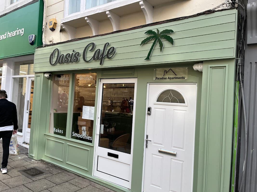
Oasis Café
Located at 13 Low Ousegate, York YO1 9QX, UK

Wolds Coffee House

Interactive Map
View accommodation, attractions, restaurants, and events on the map
Geographic Facts
This village is geographically within the following regions:
- Population
- 490
- Postcode
- YO41
- Administrative area
- East Riding of Yorkshire
- Dialing code
- 01759
Data sourced from Wikidata and verified public records